
Planning a trip between Arizona and California involves more than just knowing the distance. Travelers are often keen to understand travel times, the best routes, and what experiences await them in each state. This guide thoroughly answers the question: How far is Arizona from California?
Whether traveling for leisure, business, or a mix of both, getting familiar with the journey’s nuances will help maximize your experience. This article breaks down the distance, travel methods, and must-see attractions that lie along the way or at your destination.
How Far Is Arizona from California?
The distance between Arizona and California varies depending on the starting and ending points within each state. Generally, the distance from Los Angeles, California to Phoenix, Arizona is about 373 miles (600 kilometers). The travel time by car typically ranges between 5.5 to 6.5 hours, depending on traffic and the specific route taken. The drive can be a picturesque journey worth taking.
Distance Between Key Cities
Here are some common distances and travel times between major cities in Arizona and California:
| From | To | Distance (miles) | Approximate Travel Time (hours) |
|---|---|---|---|
| Los Angeles, CA | Phoenix, AZ | 373 | 5.5 – 6.5 |
| San Diego, CA | Phoenix, AZ | 357 | 5.5 – 6.5 |
| Las Vegas, NV | Phoenix, AZ | 298 | 4.5 – 5.5 |
| San Francisco, CA | Phoenix, AZ | 750 | 12 – 13 |
| Los Angeles, CA | Tucson, AZ | 330 | 4.5 – 5.5 |
Matter of Timing: Best Time to Travel
The best times to make the trip between Arizona and California depend on several factors, including weather, traffic patterns, and personal preferences. Here’s a breakdown of seasonal considerations:
Spring (March – May)
Spring is a delightful time to travel as temperatures are moderate across both states. In Arizona, you can experience the stunning wildflower blooms, while California boasts pleasant weather for outdoor activities.
Summer (June – August)
Summer can be extremely hot in both states, particularly in Arizona. Expect peak temperatures in Phoenix reaching over 100°F (38°C). If you choose to travel during this season, opt for morning or evening drives to avoid the heat.
Fall (September – November)
Fall is another excellent time for travel, with cooler temperatures, beautiful fall foliage, and fewer crowds. This is an ideal season for road trips and outdoor exploration.
Winter (December – February)
While typically mild in Southern California, winter can bring cooler temperatures and even the occasional snow near the Arizona mountains. However, it’s also a popular time for travelers seeking warmer climates escaping colder northern states.
Traveling by Car: Routes & Stops
If you’re planning a road trip, you have multiple routes to choose from. Below are the two most popular options:
Route 1: I-10 E
- Depart from Los Angeles on I-10 E.
- Travel through San Bernardino and Palm Springs.
- Pass through the Coachella Valley.
- Continue your journey towards Phoenix through the cities of Blythe and Quartzsite.
This route is straightforward and usually maintains a good flow of traffic. You’ll encounter stunning desert landscapes along the way.
Route 2: I-15 & I-10 E
- Start in Los Angeles on I-15 N towards Barstow.
- Take the exit to I-40 E towards Needles.
- Merge onto I-10 E toward Phoenix, continuing your drive through the desert.
This route may take slightly longer, depending on traffic, but you could enjoy diverse desert scenery and a stop at former Route 66 towns.
Attractions Along the Route
Road trips are about the journey, not just the destination. Here are some attractions and scenic stops worth considering during your travels:
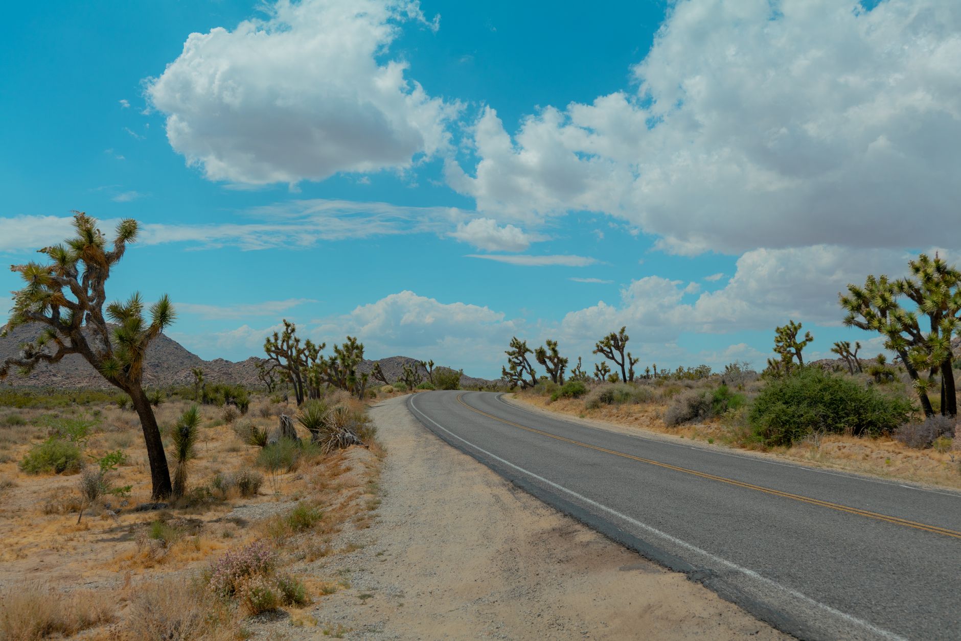
- Joshua Tree National Park: Known for its unique rock formations and striking Joshua trees, this national park offers wonderful hiking and beautiful desert vistas.
- Palm Springs: A popular resort city that boasts hot springs, stylish hotels, and vibrant nightlife.
- Route 66 Museums: Stop along the historic Highway 66 for museums and interesting roadside attractions celebrating Americana.
- Desert Hot Springs: Famous for its natural hot mineral water, it’s a great place to unwind.
- Chiricahua National Monument: If you’re heading to Southern Arizona afterward, this is a stunning spot known for its rock formations and hiking trails.
Traveling by Plane
Flying is another practical option for traveling from California to Arizona. The following considerations can help you understand the best flight options:
- Airports: Major airports in California (LAX, SNA, SAN) offer direct flights to Phoenix Sky Harbor International Airport (PHX).
- Flight Duration: Non-stop flights typically take around 1.5 hours.
- Transfers: Consider airport transfers or car rentals upon arrival to facilitate your local travel plans.
Accommodation Options in Key Cities
Here’s a quick overview of accommodation options in Phoenix and nearby areas. Whether traveling solo, as a couple, or with family, you can choose the best fit for your needs.
Phoenix
- Luxury Hotels: The Phoenician, a Luxury Collection Resort, offers lavish amenities and breathtaking views of Camelback Mountain.
- Mid-Range Options: Consider the Drury Inn & Suites for comfortable accommodations with budget-friendly amenities.
- Budget Stays: Motel 6 is an economical option that provides basic accommodations.
Los Angeles
- Luxury Hotels: The Beverly Hills Hotel offers celebrity-like treatment and exceptional amenities.
- Mid-Range Options: The Hollywood Roosevelt provides a stylish stay with a historic touch.
- Budget Stays: The Best Western or similar chains present affordable rates without sacrificing comfort.
Packing Considerations for Your Trip
Packing appropriately is essential for a smooth trip from California to Arizona. Here’s a useful list of essentials to consider:
- Comfortable clothing for a range of temperatures (light layers, especially for the desert).
- Hiking boots if you plan on exploring national parks or hiking trails.
- Sunhat and sunscreen, especially for daytime travel to protect against the sun.
- A reusable water bottle to stay hydrated during your road trip.
- A good camera to capture the stunning landscapes.
Budgeting Your Trip
Understanding the costs involved can help in planning your trip effectively. Here’s a breakdown of potential expenses:
- Fuel Costs: Calculate based on mileage and current gas prices; an average gas price of $4 per gallon may apply.
- Accommodation: Rates vary by city, with budget options starting around $60 per night and luxury stays potentially exceeding $300.
- Food: Budget approximately $12-20 per meal at mid-range restaurants.
- Attractions: Entrance fees for national parks typically range from $10 to $30 per vehicle.
Responsible Travel Tips
As you travel between Arizona and California, practicing responsible tourism is vital. Here are some helpful tips:
- Respect local wildlife and adhere to park rules when visiting natural attractions.
- Stay hydrated and carry out all trash to preserve the beauty of natural landscapes.
- Support local businesses by dining at locally-owned restaurants and purchasing from local artisans.
Conclusion and Next Steps
Knowing how far Arizona is from California helps set the groundwork for an adventurous and memorable trip. With routes, attractions, and essential travel tips outlined here, you’re equipped for the journey ahead. Don’t forget to check the latest conditions and plan according to your travel interests!
For more travel ideas, consider exploring our guides on San Diego distance from LA and Las Vegas travel information. Safe travels!